Northwest Indiana & Miller Historic Maps
Below are links to various maps of Indiana with particular attention to Northwest Indiana (Lake County and Porter County). Also are cropped images from those maps which are particular to Miller and/or Gary.
In the "Link" column are the links to the various repositories which will open the full map in a new window and provide more documentation and information. The abbreviations are for the repository:
- NIM = Historic Indiana Maps at IUPUI
- ISL = Indiana State Library
- NBL = Norman B. Leventhal Map Center Collection at the Boston Public Library
- LOC = Library of Congress
- DR = David Rumsey Map Collection
- TS = A page on this website, or in my possession.
- TX = Perry-Castañeda Library University of Texas Libraries (Indiana)
Rather than open the full map with the 'Link' on the left, click one of the thumbnails and then use the arrows left and right to scroll through the gallery.

| Year | Link | Description | Miller Close-up
Click a Thumbnail |
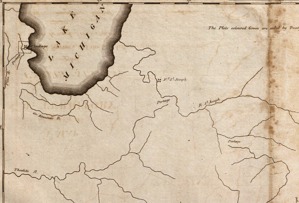
| 1797 | NBL | Map of part of the N.W. Territory from actual surveys and best information. Indiana, Ohio, and 'Chickago'. |
|
| 1833 | HIM | Indiana David H. Burr creator. |
|
| 1839 | 1839 Map of Ohio and Indiana (Part). David Burr. Source was NYPL but they have archived their MapWarper tool. Nevertheless, the capture is here, on the right. |
|
|
| 1840s | ISL | Unsold lands in Lake County. Solon Robinson, creator. |
|
| 1842 | HIM | Hinton, Isaac Taylor. 1842. Map of the States of Indiana and Ohio with Part of Michigan Territory. London, England |
|
| 1848 | DR | A New Map of Indiana with its Roads & Distances. By H.S. Tanner. |
|
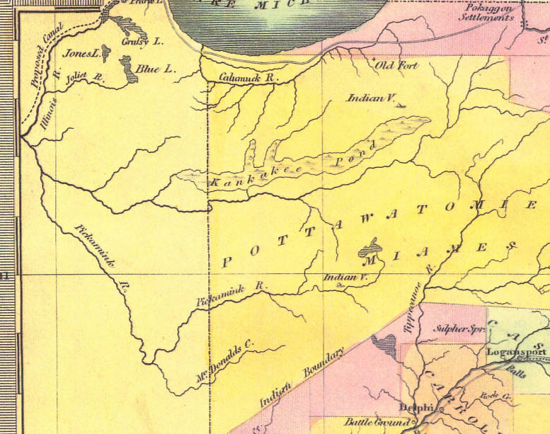
| 1852 | Map of Indiana compiled from the United States Surveys published by J.H. Colton
This is a huge file in my possession with no link to the full map. I'm not even sure where I got this file but it is one of the few from this era which shows a road from Liverpool northeast towards Michigan City. Pre-Miller, but Indiana City is shown at the mouth of the river |
|
|
| 1869 | NBL | Colton's Map of the State of Indiana: Compiled from the United States Surveys & Other Authentic Sources, Exhibiting Sections, Fractional Sections, Railroads & Canals . |
|
| 1871 | HIM | Railroad Distances & Township Map of Indiana. New York: E. C. Bridgman. |
|
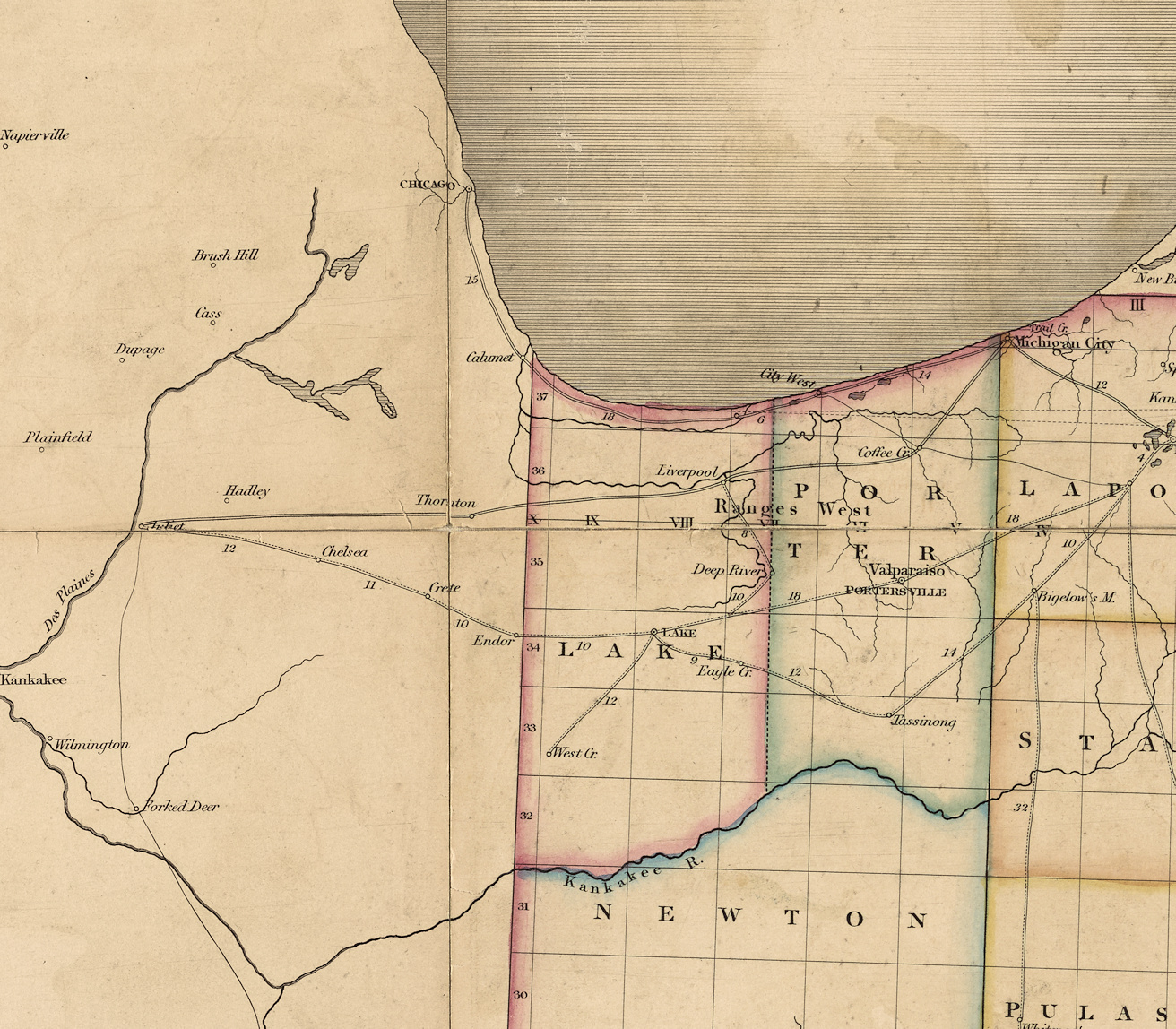
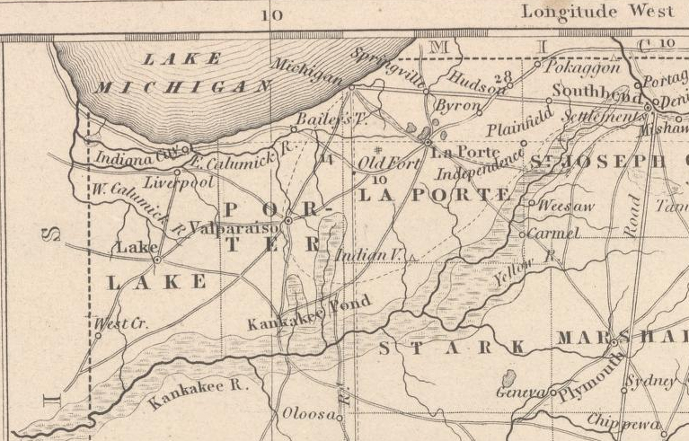
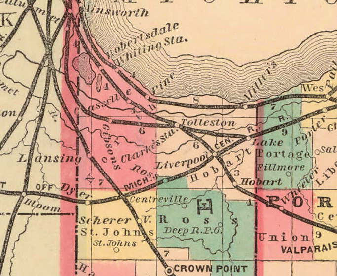
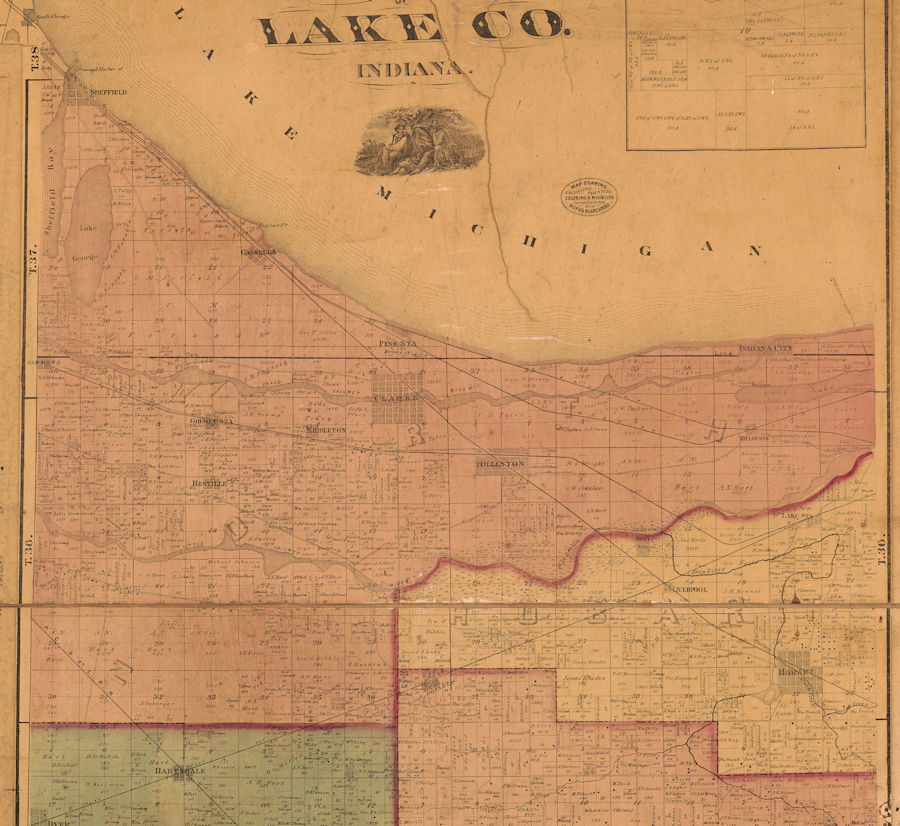
| 1874 | LOC | Hardesty map of Lake County. The full map is the LOC link.
A crop of that map to North Township has been used on my page on Samuel Miller and 1850. . |
|
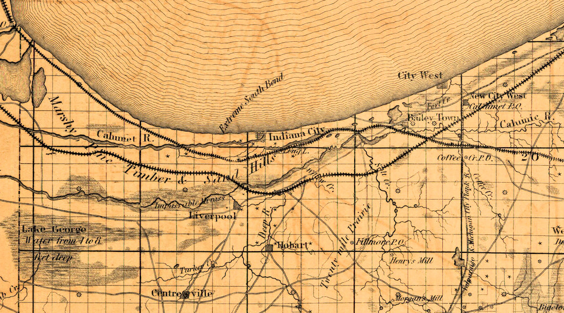
| 1876 | TS | South Shore of Lake Michigan. These two maps are from the Wisconsin Water Library which unfortunately runs on Adobe Flash, but were previously downloaded and cropped. See my older 'Maps - Current and Historic' page for the close ups and more information on these unique maps. | |
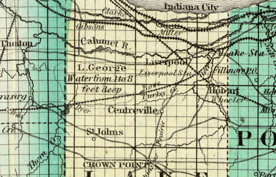
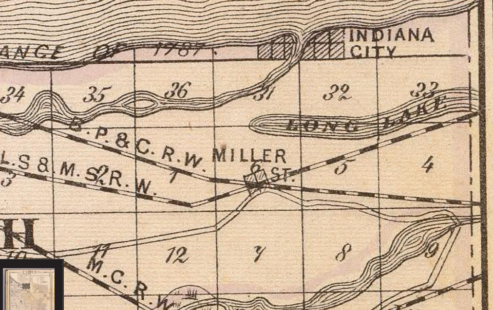
| 1876 | DR | From the 1879 Baskin, Foster & Co. Atlas, map by A.T. Andreas. This map and its close-up were previously referenced on this website. See that page for a bit more information. |
|
| 1880s | HIM | 1880-1889 Indiana map Shows railroads and canals; "Compiled according to census of 1880 and latest surveys"; from Encyclopaedia Britannica, 9th ed. |
|
| 1882 | HIM | E.J. Clemens Map of Indiana. Shows county boundaries, railroads, and cities and towns.
(No close up since the whole northern part of the county is jammed with railroad track symbols.) |
|
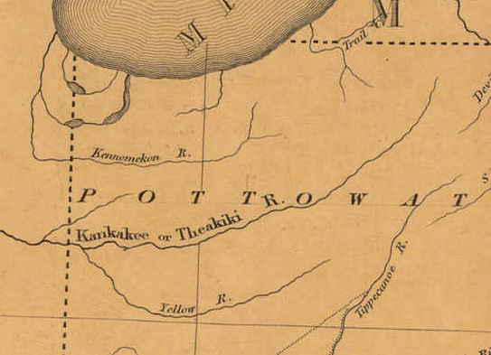
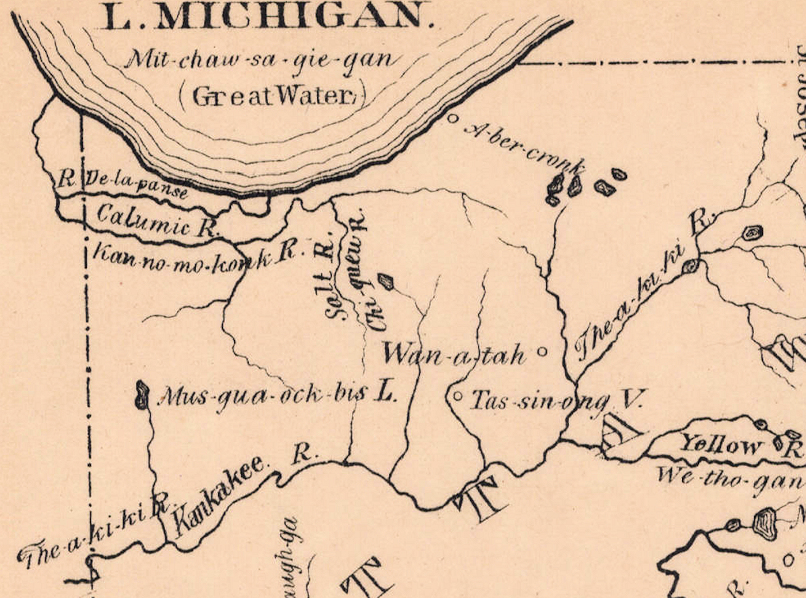
| 1882 | HIM | Hough, Daniel. 1882. Indian Names of Lakes, Rivers, Towns, & Forts of Indiana. |
|
| 1886 | HIM | State of Indiana: Compiled from the Official Records of the General Land Office and Other Sources. Washington, DC |
|
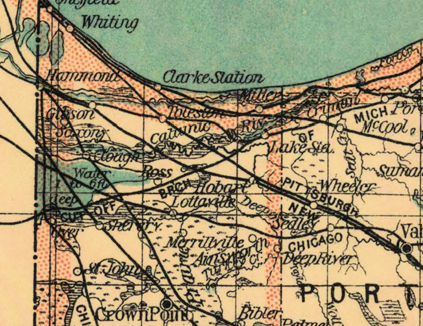
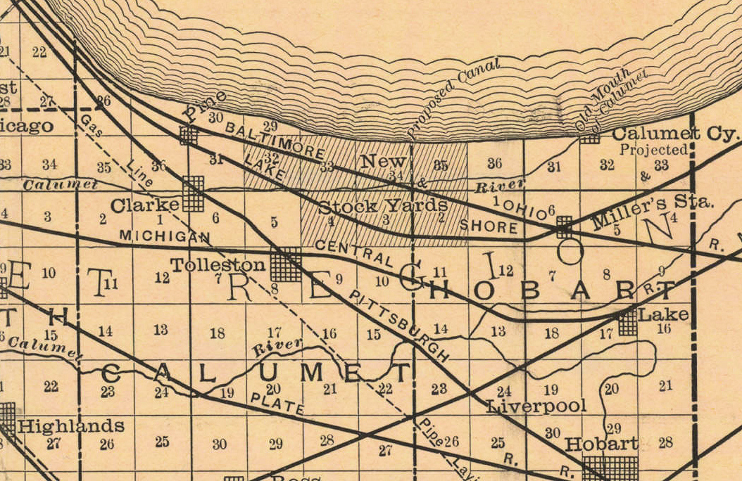
| 1890 | HIM | Lake County, Indiana. T.M. Ball, Chicago, Illinois
(Note the 'New Stock Yards' where Gary would be built 16 years later.) |
|
| 1890?-1899? | NBL | Geological map of Indiana, showing location of stone quarries and natural gas and oil areas. |
|
| 1894 | HIM | 1894 E.C. Bridgman's New Sectional and Township Map of Indiana from the Latest Official and Other Authentic Sources for School, Library or Office. (Sheet 1) New York (Again no close up since map is loaded with train tracks and there's nothing new. The full map(s) have interesting geological sidebar maps.) | |
| 1897 | HIM | Blatchley & Ashley's State Geologist Geological Map of Lake and Porter Counties. Indianapolis |
|
| 1897 | NBL | Post route map of the state of Indiana showing post offices with the intermediate distances on mail routes in operation on the 1st of December, 1897. |
|
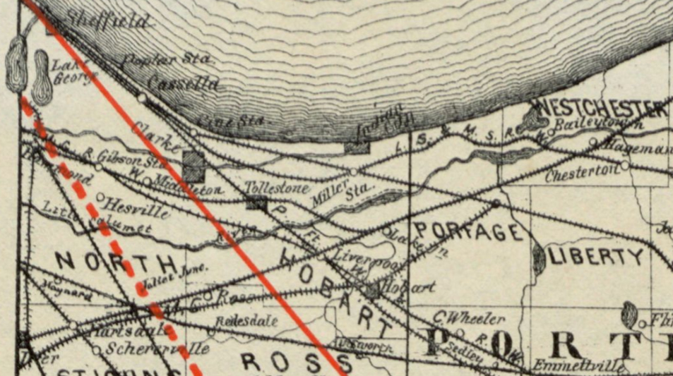
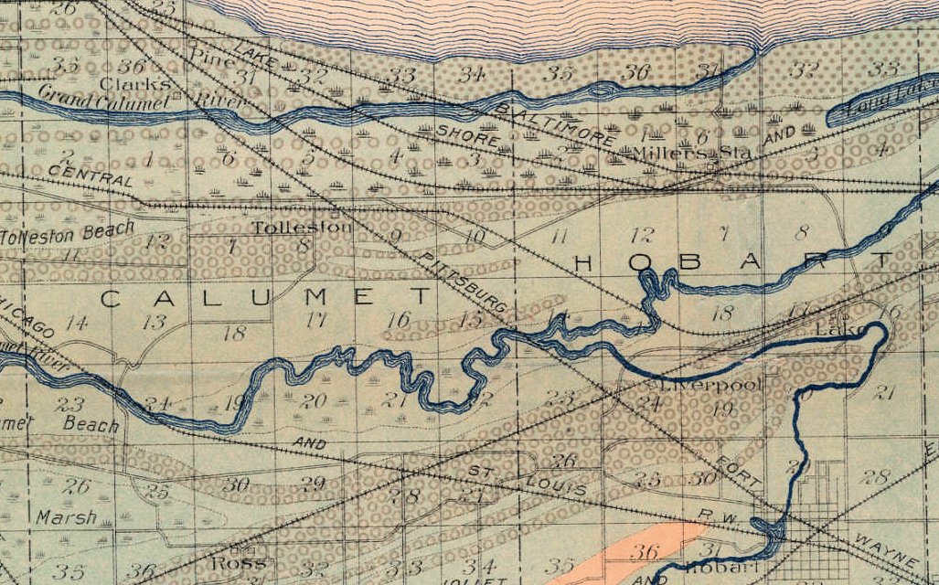
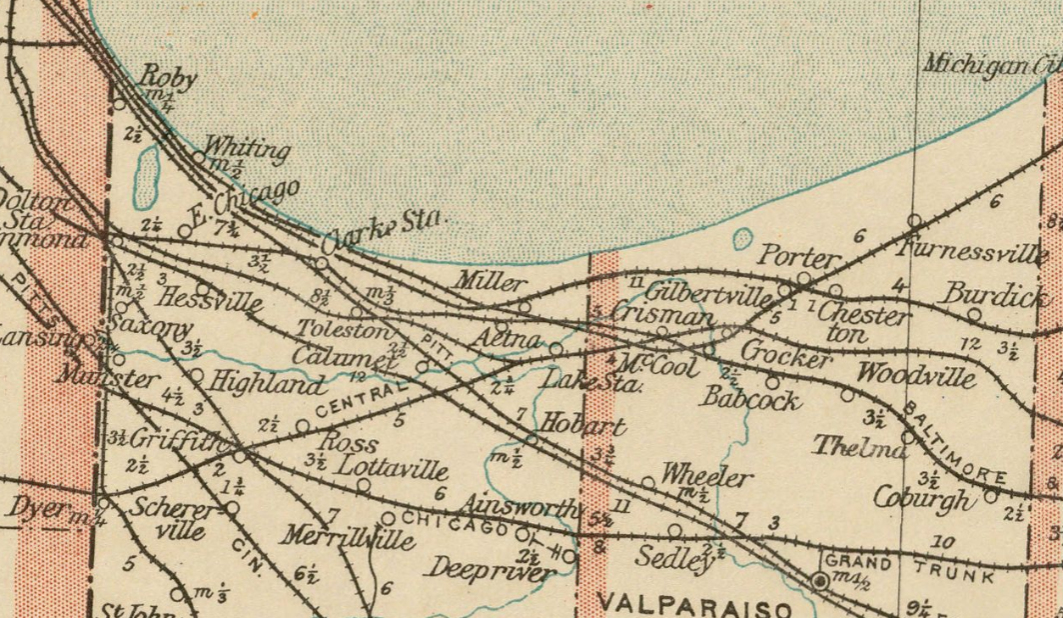
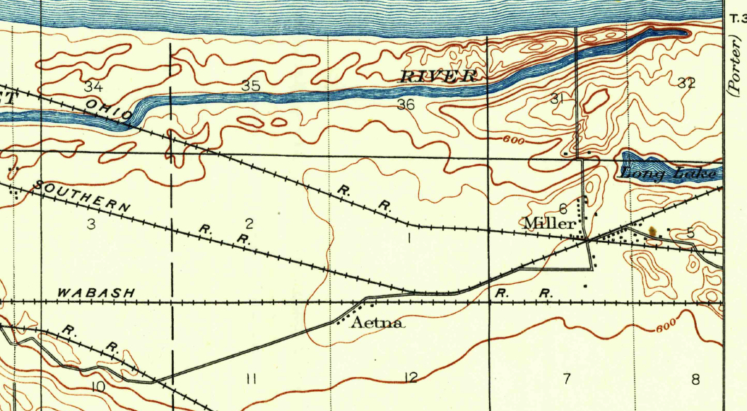
| 1900 | TX | U.S. Geological Survey Map. Surveyed in 1897 and revised in 1900. This map, labeled the Toleston (sic) Quadrangle, includes the north portion of Lake County. |
|
| 1901 | HIM | C.S. Mendenhall's 1901 New Road Map and Guide Book of Indiana: Showing Pikes, Road & Bicycle Route, the Location of Towns Post Offices, & Rail Roads. Cincinnati |

|
| 1906 | HIM | C.S. Mendenhall's 1906Guide and Road Map of Indiana: Showing Main Touring Routes and Good Roads. Cincinnati |
|
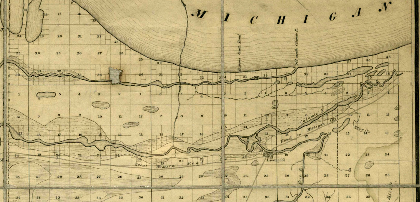
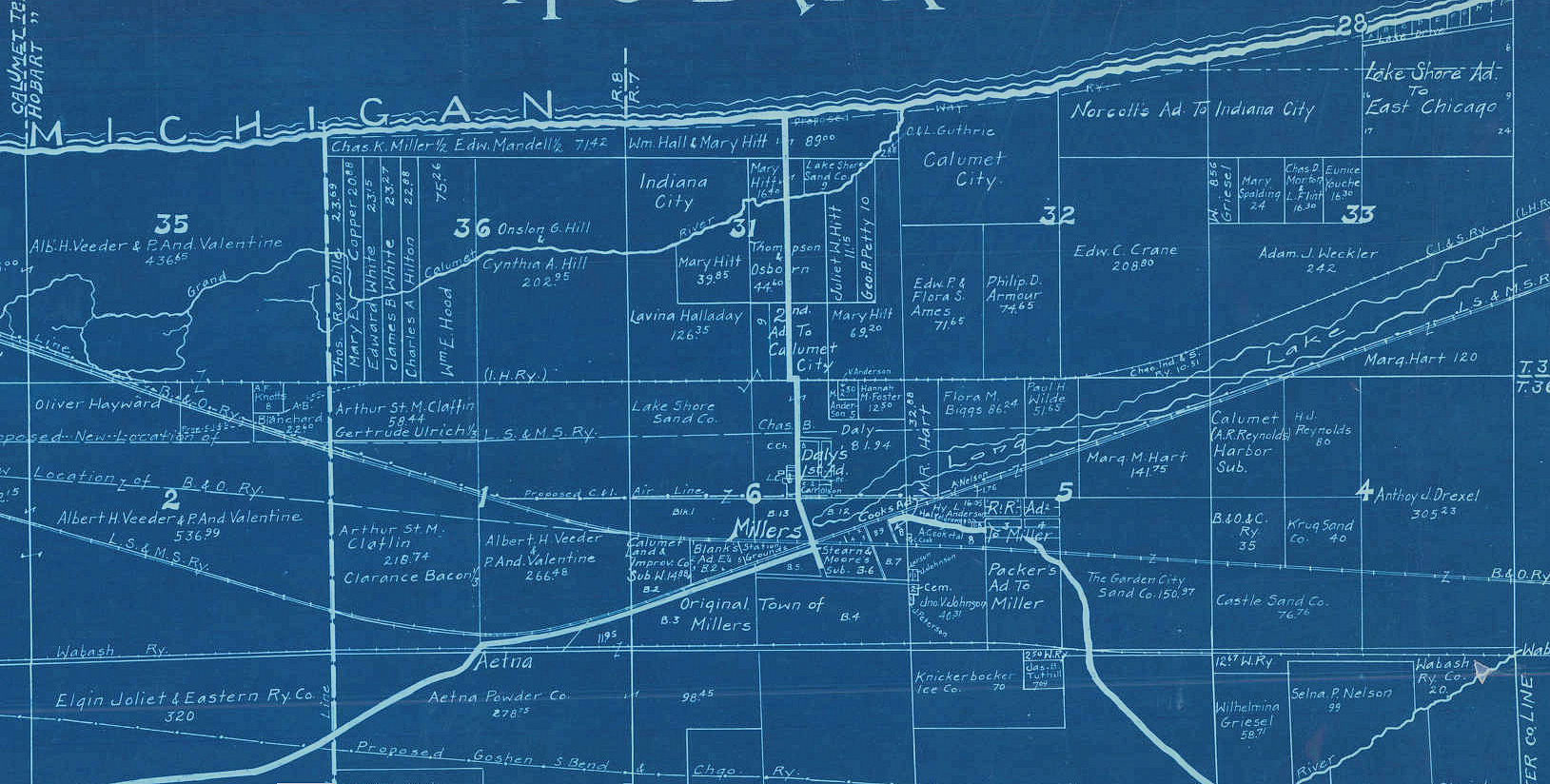
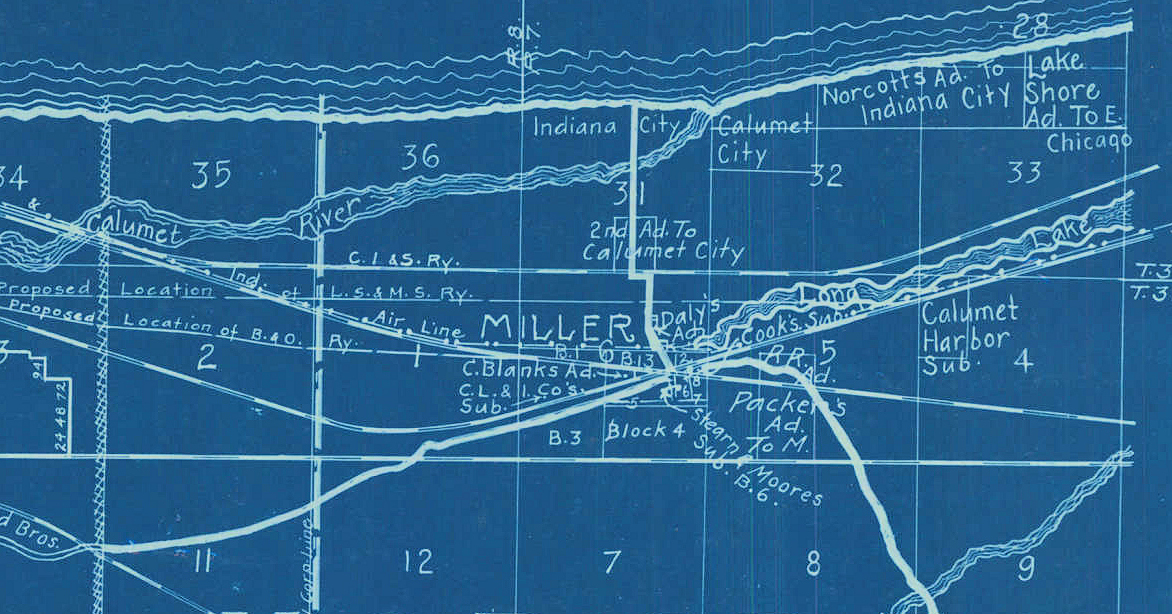
| 1906 | HIM | F.L. Knight's 1906 Calumet Region of Lake County, Indiana: Prepared from the Official Records. Crown Point.
Blueprint; Cadastral map showing landowners. |
|
| 1906 | HIM | F.L. Knight & Sons' 1906 Map of Lake County, Indiana: Prepared from Official Surveys. Crown Point. |
|
| 1906 | HIM | F.L. Knight & Sons' Road Map of Lake County, Indiana. Crown Point. |
|
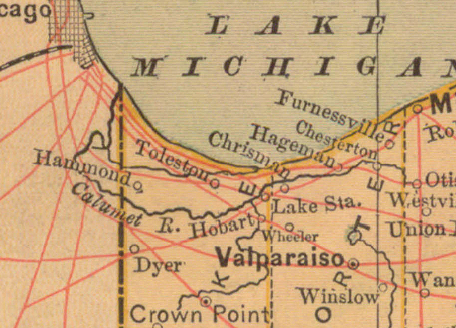
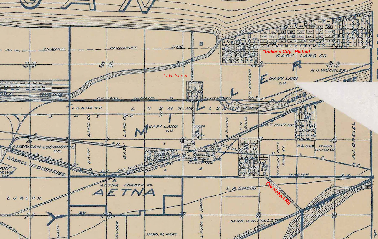
| 1909 | ISL | Northern Lake County and Calumet area created by the Indiana Harbor Belt RR.
Does not really show Miller but shows 'Calumet City', the platted 'Indiana City.' |
|
| 1911 | ISL | Northern part of Lake County, Indiana, drawn from official records and surveys. |
|
| 1916 | HIM | Dinsmore, A.F., and I.P. Berthrong. 1916. State of Indiana. Washington, DC: General Land Office. No close up as there is little detail to be gained. |
|
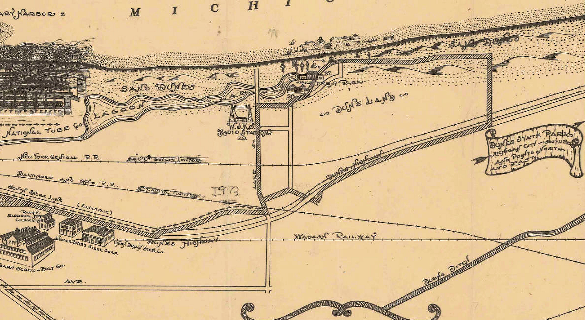
| 1918-1920 | TS | This very rare 30" x 30" has never been fully digitized that I know of. They were reproduced in the book The Indiana Dunes Revealed - The Art of Frank V. Dudley and scanned from that book. Drawn by Peter S. Goodman, a member of the Praire Club, it was controversial at the time. It was mostly of dunes features in Porter county, but a small section included Miller Beach. See the other page on this website for more information. |
|
| 1923 | HIM | Pickens, R.F., and C.G. Sauers.Map of Indiana Showing Points of Interest and State Highways. Indiana Department of Conservation.
No close up worth showing; an interesting map none the less. |
|
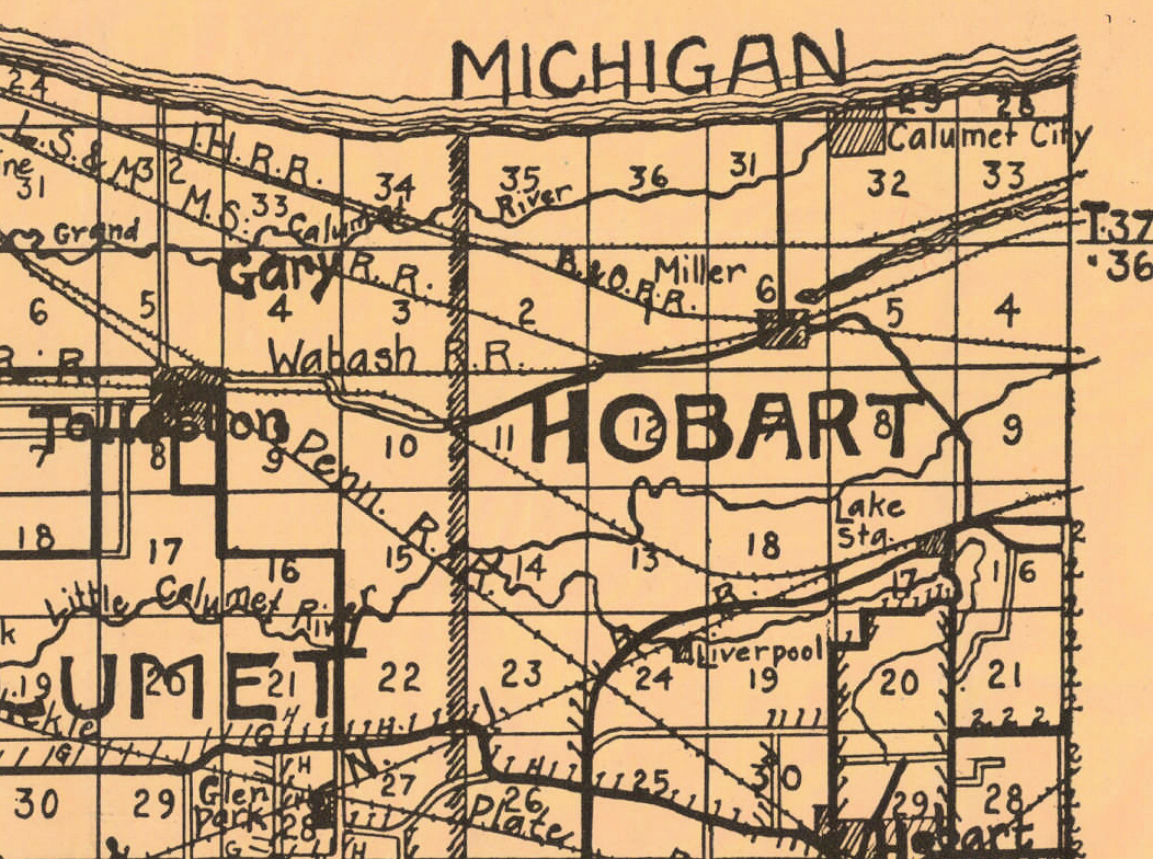
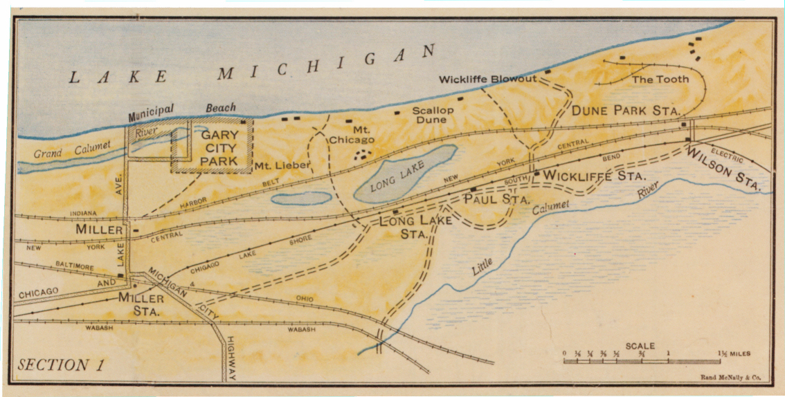
| 1928 | ISL | Gary, Indiana, in 1928. Map shows the streets, railroads, some businesses, cemeteries, and parks. W.P. Cottingham creator. |
|
| 1929 | ISL | Illustrated Promotional map of Gary. Gary Chamber of Commerce. |
|
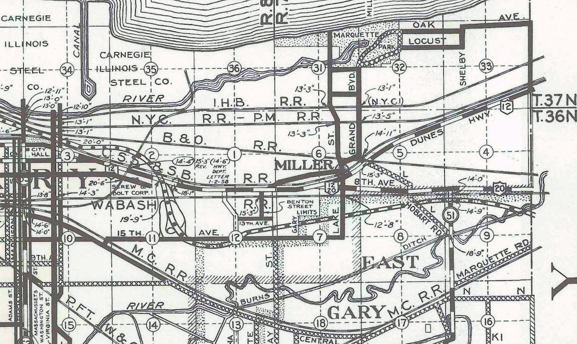
| 1958 | ISL | Map of Lake County.County surveyor's office, Samuel E. Brownsten, surveyor. It shows cities, major roads, major businesses and industries, lakes, railroads, and geographic features. |
|
Additional links to maps:
- Indiana State Highway Maps from 1917 to 1932 are online at IU Libraries.
- A couple of maps used here, one being the 1876 Atlas map of Lake County, came from the David Rumsey Map Collection. The link to that full map is Map of Lake County (with) Lowell, Hobart, Crown Point. That site is a fantastic site for any of you fellow map lovers.
I'm sure there are many more maps and sites that have maps, and more will come online as various libraries around the world digitize them. If you know of a map that I've missed, or could be included, please email me the full URL of that map.
About this page
This page was spring-boarded by a listing of maps on the Northwest Indian Geological Society's website. There is an earlier page on my website which gets referenced in a few of the "TS" links above.
Page created November, 2019.
Feel free to contact me about this page.